drones operations & services
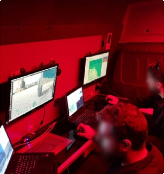
We provide turnkey airborne and aerial works solutions through our own fleet of UASs, starting from “in the field operations and logistics” and reaching up to sensor data analysis and reporting (ISR reports, mapping, GIS, etc).
Different platforms and payloads are available within the Company’s inventory ready to cover a variety of mission profiles and requirements. We have the ability to fit any mission profile either through own systems or through selected systems from our OEM partners.
Intelligence Surveillance & Reconnaissance (ISR)
ALTUS experience extends to: Land & Maritime border Surveillance, Intelligence gathering, Airborne ISR, Natural Disaster Management, Protection of Critical Infrastructure, Search and Rescue, Power Line network monitoring and many other.
Our unmanned systems are equipped with a wide range of advanced sensors and payloads—including EO/IR, LiDAR, multispectral, and DSLR—offering extensive capabilities such as automatic object detection, specialized data collection, and advanced processing outputs.
Cargo and Logistics
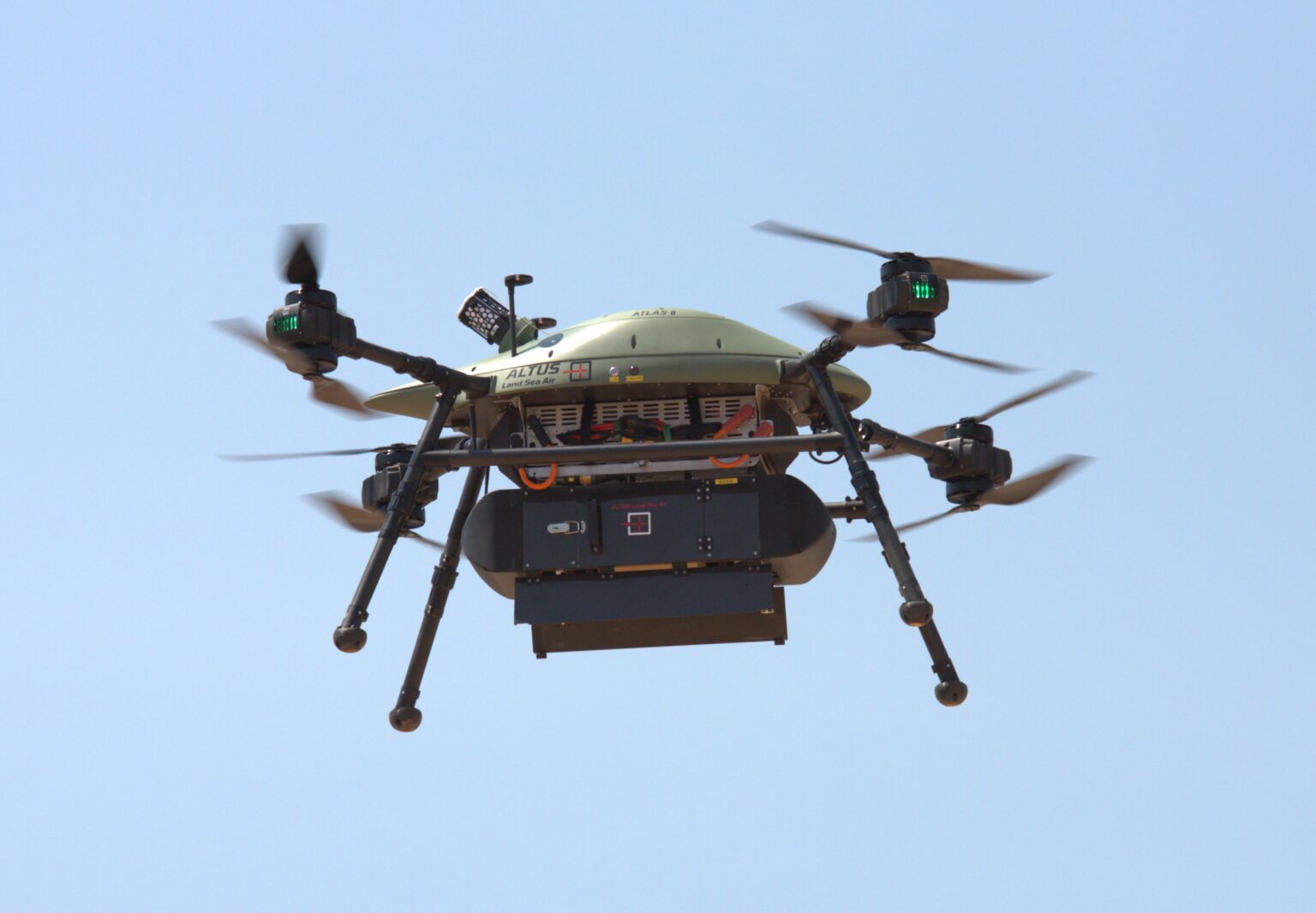
A Cargo Drone is an unmanned aerial vehicle (UAV) used to transport packages, medical supplies, food, or other goods. ATLAS 4 & 8 are a operationally proven systems that can support cargo transfer on time and reliably.
Our Cargo drones can be used for the delivery of:
- Healthcare
- Postal
- Ship Resupply
Real-time emissions monitoring
In areas of dense maritime traffic, ship-generated emissions can be substantial. This is mainly due to the burning of fossil fuels and the combustion process for propulsion.
Sulphur oxides (SOx), nitrogen oxides (NOx), carbon dioxide (CO2) and particulate matter (PM) are all released into the atmosphere. These are harmful both to the local population and the environment. In the EU, SOx emissions from ships are regulated by Directive (EU)2016/802, known as the Sulphur Directive. This places limits on the maximum sulphur content in marine fuels. In order to achieve a reduction of SOx emissions, ship owners must use fuels with reduced sulphur levels or alternatively adopt an Emission Abatement Method such as an Exhaust Gas Cleaning (EGC) system. Monitoring the emissions from a ship’s smokestack by Remotely Piloted Aircraft Systems (RPAS) can help to enforce the Directive as the information provided can be shared among the relevant authorities.
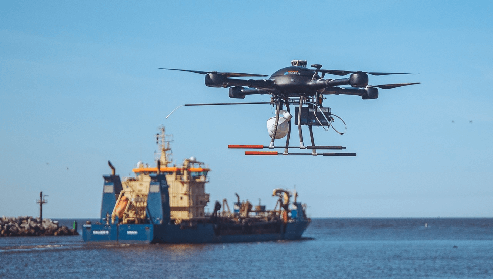
Remotely Piloted Aircraft Systems (RPAS) or Drones offered by ALTUS LSA, can be used as aerial platforms with gas sensors (‘sniffers’) to make measurements of the amount of SOx versus the CO2 in a ship’s plume. This relationship can ascertain the amount of sulphur content in the fuel being used on board. Based on these measurements, the sulphur content of the ship’s fuel can be estimated and compared to the legal limits. The RPAS also carry sensors to assist in the identification of the vessel. This operational information can be complementary to the emission monitoring activities of Member State authorities to ensure that all vessels in transit in European waters comply with the legal requirements.
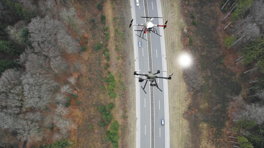
Mapping Solutions
Drones are a must-have technology in the surveying toolbox. Drone mapping makes acquiring, processing, and analyzing data more efficient and accurate. ALTUS LSA drone mapping solutions encompass a full range of entry- to advanced-level systems for collecting photogrammetry and LiDAR. Including drone mapping in your business adds a technological advantage in a highly competitive field.
Drone-enabled sensors have opened up a world of opportunities for users in the surveying and mapping industry. With our expertise, we educate users on the best platforms to successfully meet surveying requirements. We offer drone platforms, LiDAR/imagery sensors, and mapping software solutions that enable users to perform high-accuracy 3D drone mapping. Visit our interactive Sensor Selector page to guide you to the best sensor for your project goals.